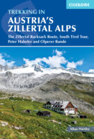
Kaarten en gidsen > Wandelen > Wandeltochten > Meerdaagse wandelroutes > Europa > Zwitserland en Oostenrijk (en Alpen als geheel) > Oostenrijk > Tirol > Adlerweg, trekking Austria's | wandelgids
Adlerweg, trekking Austria's | wandelgids
The Eagle’s way across the Austrian Tyrol
€24,95
direct leverbaar!
- Zeer ruim assortiment
- Verzending 1-2 werkdagen
- Niet tevreden, geld terug
- Ruilen binnen 14 dagen
Titelinformatie
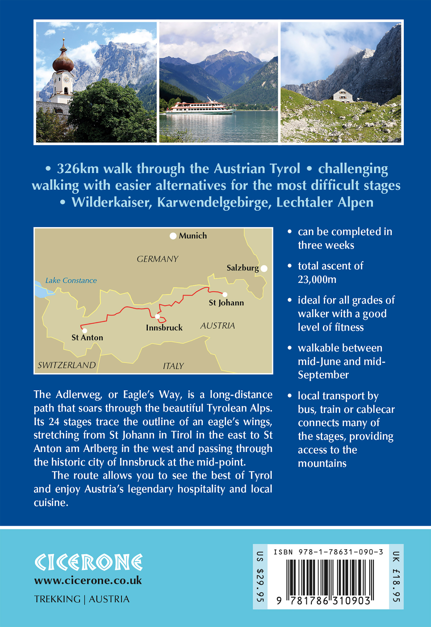
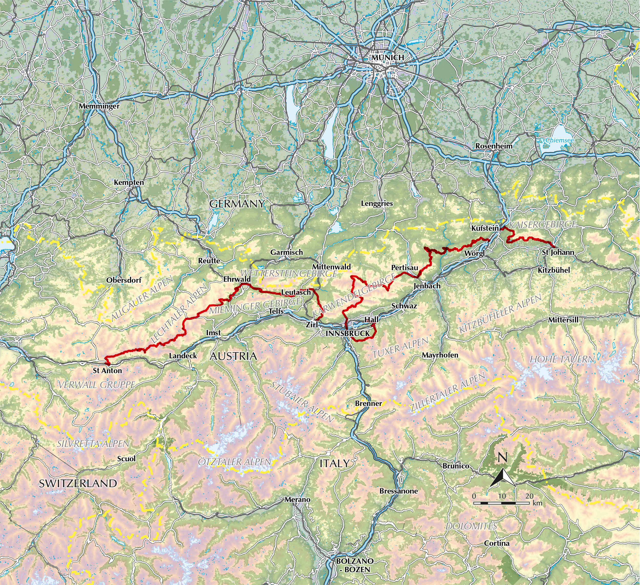
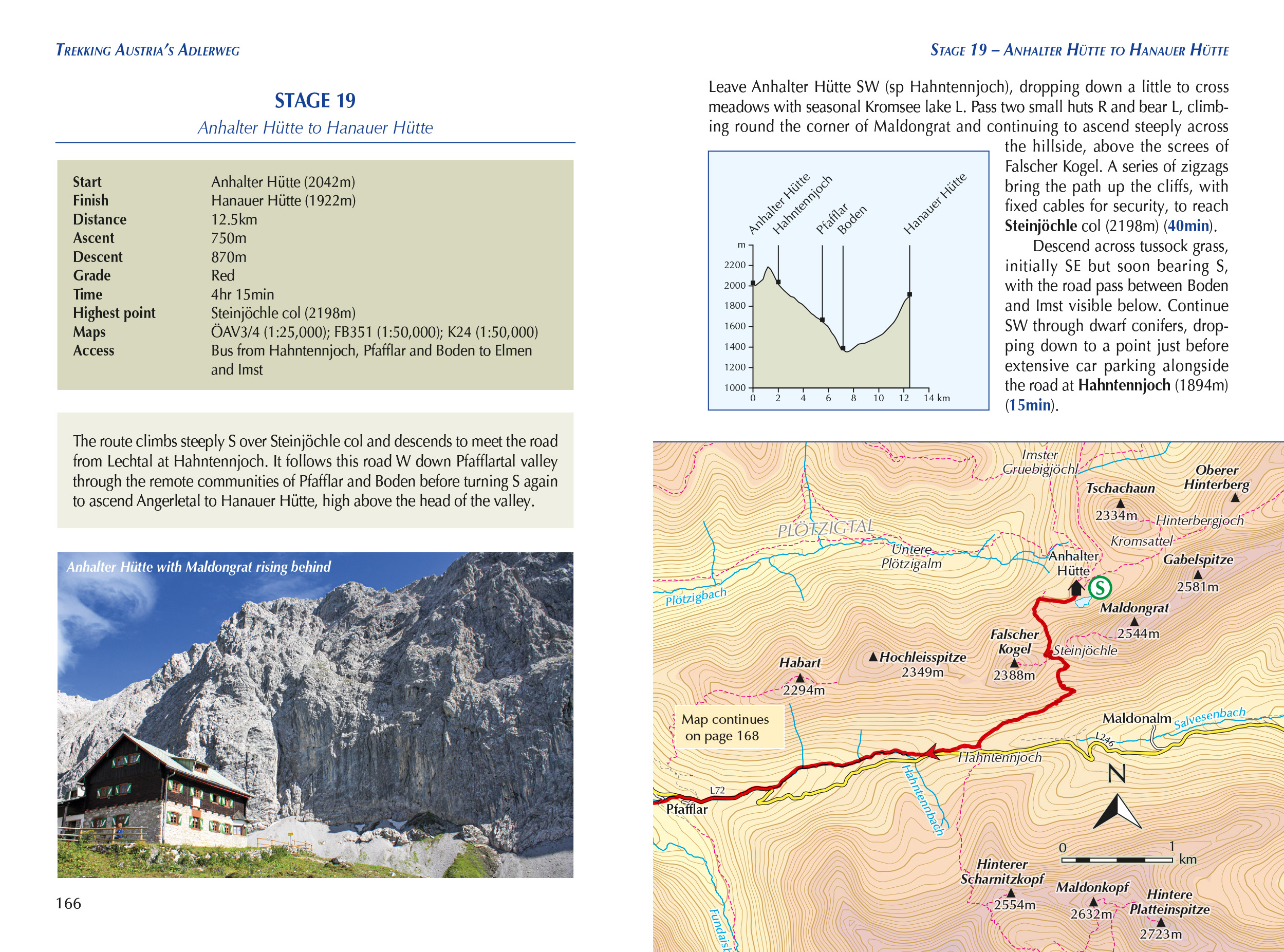
Running from from St Johann to St Anton in the Austrian Tyrol, stopping at Innsbruck mid-way, the Adlerweg (or Eagle's Way) is a well-waymarked 300km path that is relatively new and becoming ever more popular. This is the first English-language guide to the route. It follows established mountain and valley tracks to traverse the length of the Austrian state of Tyrol from east to west. This guide gives detailed route description of the route's 23 principal stages, as well as its 6 easier low-level alternatives and 8 more difficult high-level alpine variants through the Lechtal Alps. Variants make it as easy or challenging as readers desire. Strong walkers could complete the route in two weeks. This guide is not intended for use on its own. It is essential to have walking maps at a scale of 1:50,000 or 1:25,000. Maps from three publishers cover the route (Alpenvereinskaarten, Kompass en Freytag & Berndt), and sheet numbers are shown for each stage. However, there are differences between the published maps in terms of scale, coverage and accuracy, as well as when information was researched.
Titelspecificaties
| Regio | Tirol |
|---|---|
| Uitgavedatum | July 2023 |
| Uitgever | |
| ISBN | 9781786310903 |
| Formaat | ca. 12 x 17 cm |
| Categorie | Meerdaagse wandelroutes, Wandelgidsen |



![Alpenverein wandelkaart AV-30/6 Ötztaler Alpen/Wildspitze 1:25.000 [2022] 9783948256180 AlpenVerein Alpenvereinskarten Wandelkaarten Tirol Alpenverein wandelkaart AV-30/6 Ötztaler Alpen/Wildspitze 1:25.000 [2022] 9783948256180 AlpenVerein Alpenvereinskarten Wandelkaarten Tirol](https://www.denoorderzon.nl/wp-content/uploads//2022/09/9783948256180-122x200.jpg)

![Alpenverein wandelkaart AV-34/2 Kitzbüheler Alpen/Ost 1:50.000 [2015] 9783928777476 AlpenVerein Alpenvereinskarten Wandelkaarten Tirol Alpenverein wandelkaart AV-34/2 Kitzbüheler Alpen/Ost 1:50.000 [2015] 9783928777476 AlpenVerein Alpenvereinskarten Wandelkaarten Tirol](https://www.denoorderzon.nl/wp-content/uploads/2019/05/9783928777476.jpg)
