Kaarten en gidsen > Reizen vanuit je luie stoel > Landeninformatie > Europa > Britse Eilanden > Groot-Brittannië > Geological Map of the British Islands - folded map
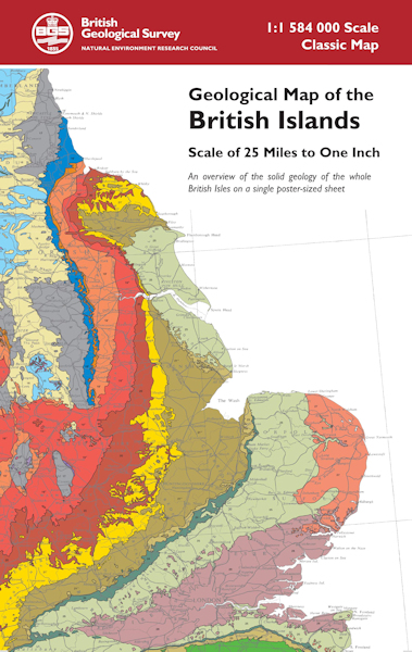
Geological Map of the British Islands - folded map
An overview of the bedrock geology of the whole of Britain
€12,50
direct leverbaar!
- Zeer ruim assortiment
- Verzending 1-2 werkdagen
- Niet tevreden, geld terug
- Ruilen binnen 14 dagen
Titelinformatie
This 2014 reprint of the 1969 5th Edition '25 mile' map depicts the bedrock (formerly 'Solid') geology of the whole of the United Kingdom and Ireland, the Channel Islands, and part of Northern France. The disposition at surface (outcrops) of the major rock types and named rock units are shown, with a geological map key giving the scale of geochronological eras and chronostratigraphical systems.
The map also shows important towns and cities, main roads, major rivers, significant topographical features and pre - 1965 counties.
Titelspecificaties
| Regio | Groot-Brittannië |
|---|---|
| Uitgavedatum | 2014 |
| Uitgever | |
| ISBN | 9780751837896 |
| Categorie | Landeninformatie |

