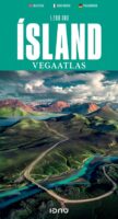
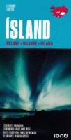
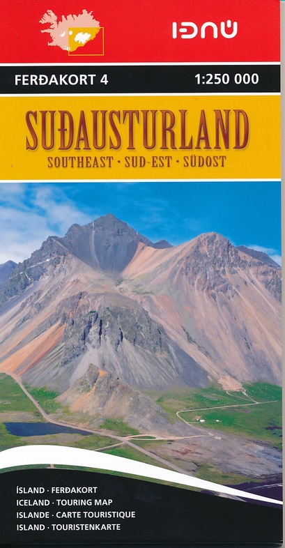
Kaarten en gidsen > Kaarten & plattegronden > Wegenatlassen > Europa > Scandinavië (& Noordpool) > IJsland, Groenland, Faeröer, Spitsbergen, Noordpool > IJsland > Ijsland pocket reisatlas Ferdakort 1:500.000
€14,95
direct leverbaar!
- Zeer ruim assortiment
- Verzending 1-2 werkdagen
- Niet tevreden, geld terug
- Ruilen binnen 14 dagen
Titelspecificaties
2016 | Ferdakort
| 9789979673910
Extra titelinformatie
This book contains a detailed travel map on a scale of 1:500 000 with contour shading and a place-name index with over 3000 entries. It also contains the latest information about Iceland’s road system, including road distances and numbers, as well as travel services such as service stations, accommodation, swimming pools, museums, golf courses, etc. There are 46 street maps of the main urbanised areas, including Reykjavík, Akureyri and Seyðisfjörður. Numerous theme maps contain practical information that often comes in very handy, for example protected areas, heritage sites, municipalities in Iceland, weather stations, vegetation and geological maps, reception area for cell and NMT phones and FM radio stations, and viewing dials.
Andere producten uit dezelfde regio


