Kaarten en gidsen > Kaarten & plattegronden > Wegenatlassen > Europa > Britse Eilanden > Ierland > Ireland Roadatlas 1/210.000
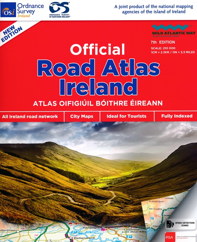
Ireland Roadatlas 1/210.000
€26,95
direct leverbaar!
- Zeer ruim assortiment
- Verzending 1-2 werkdagen
- Niet tevreden, geld terug
- Ruilen binnen 14 dagen
Titelinformatie
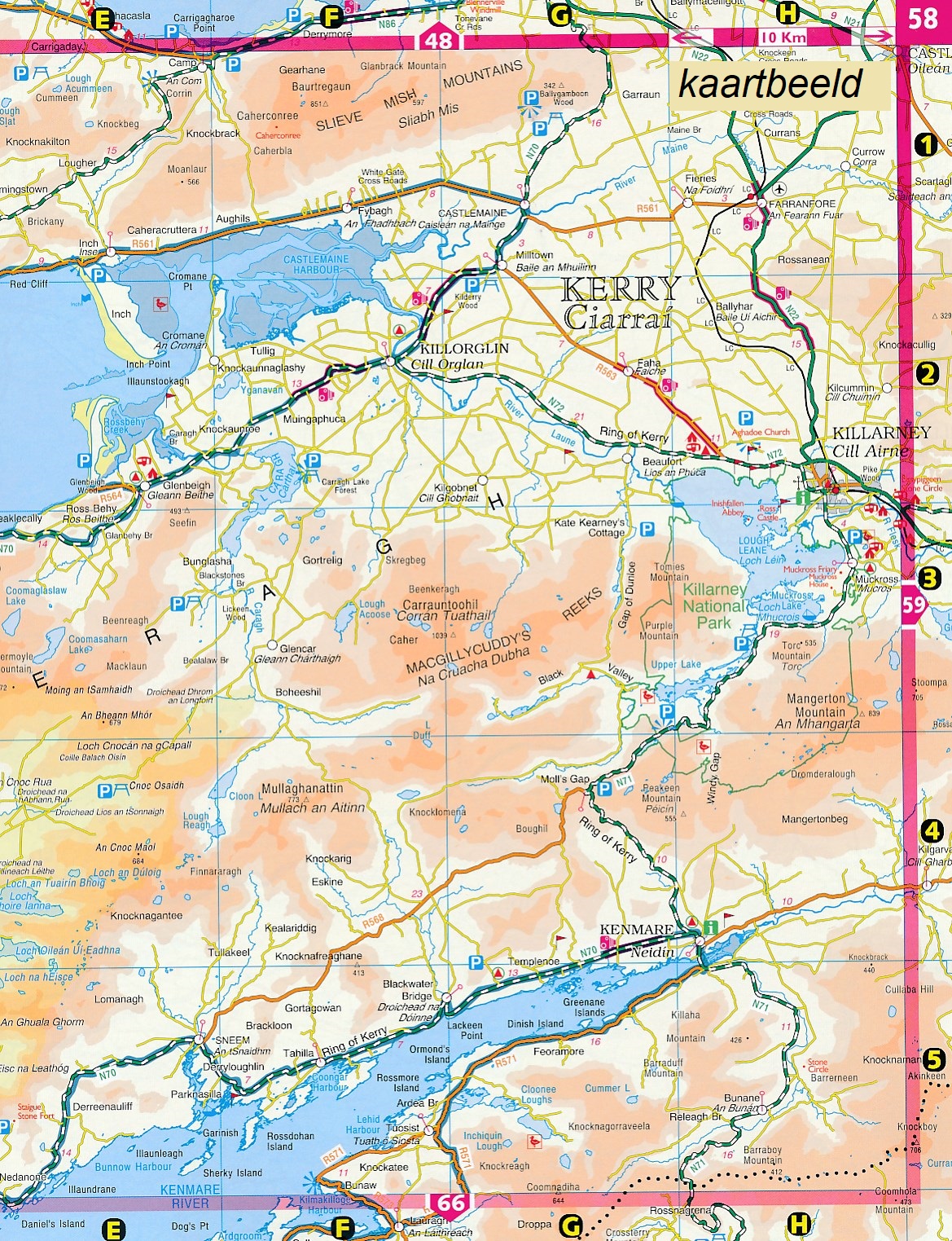
An atlas of Ireland that includes AA approved camping sites and AA recommended golf courses, car parks, picnic sites, port plans and ferry routes as well as motorway strip maps including M1 Toll Drogheda bypass. It features 11 city and town plans. It covers an easy-to-read 3,500 place name index which includes tourist sites.
Titelspecificaties
| Regio | Ierland |
|---|---|
| Uitgavedatum | Januari 2021 |
| Uitgever | |
| Serie | |
| ISBN | 9781912140473 |
| Categorie | Wegenatlassen |

