Kaarten en gidsen > Kaarten & plattegronden > Landkaarten en wegenkaarten > Europa > Frankrijk > ITM Frankrijk wegen- en spoorwegenkaart 1:1.000.000
ITM Frankrijk wegen- en spoorwegenkaart 1:1.000.000
railway & road map
€13,95
direct leverbaar!
- Zeer ruim assortiment
- Verzending 1-2 werkdagen
- Niet tevreden, geld terug
- Ruilen binnen 14 dagen
Titelspecificaties
2019 | International Travel Maps
| 9781771292832
Extra titelinformatie
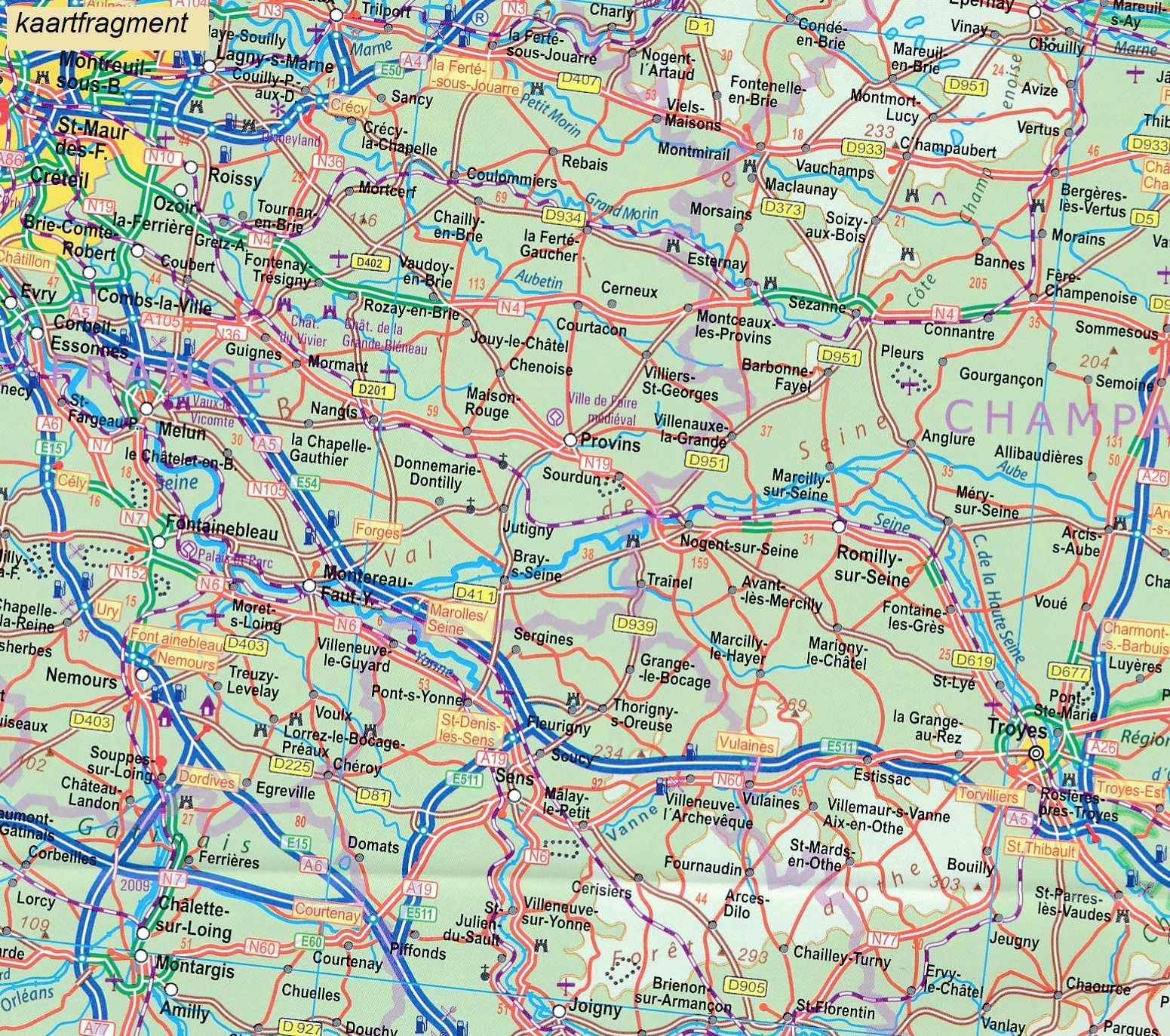
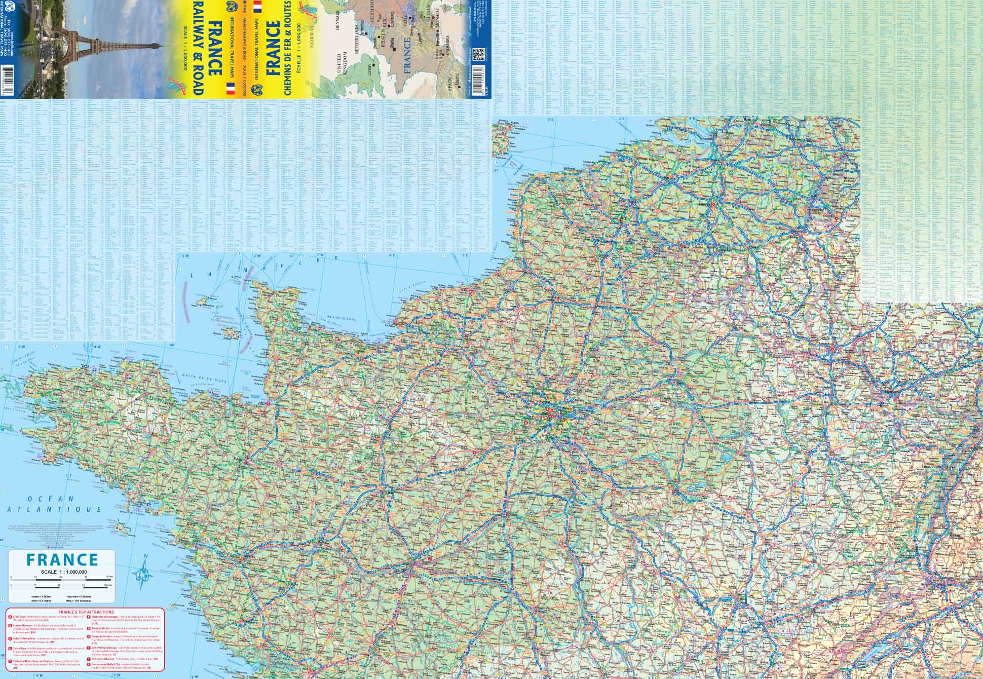
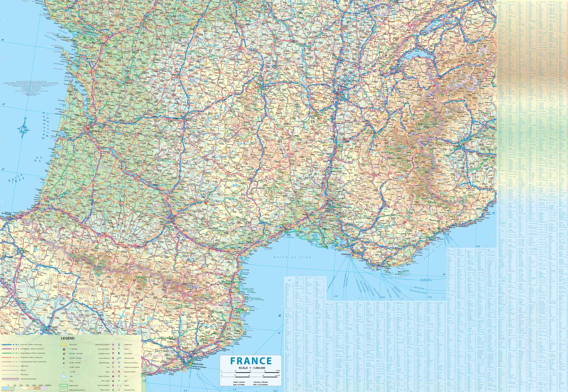
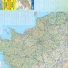
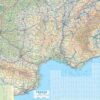
This edition of France continues a developing strain of European country maps for ITMB – placing an emphasis on train travel. Tourism is changing, or rather, is growing exponentially as more and more people from Asia visit France. Most of these visitors, and for that matter, most visitors from North America, prefer to travel around France by using the excellent rail network, rather than by road. Most map publishers have removed rail lines from their maps in order to concentrate on those people travelling by car. Our map shows the road network in good detail, but our difference is that we show the rail network in excellent detail as well. As a country, France is one of the most popular destinations in Europe, and for good reason. Whether one is interested in the chateaux gracing the Loire Valley or the great cathedrals of Chartres or Reims, or the massive defensive fortresses of bygone years, France offers something for everyone. This is a traveller’s map, whether moving around by rail or by road, its plastic paper ensures it will not tear or crack, and can even be used as an umbrella if one is caught in a sudden rainstorm! We have also included anther feature common to ITM maps, a listing of the top ten attractions in the country – hard to do for France! The map includes dozens of noteworthy attractions, World Heritage sites, and scenic back roads for those wishing to avoid motorways. A favourite of mine is the Salines Royale salt works, southwest of Besancon, which we visited in 2018; fascinating!
Andere producten uit dezelfde regio


