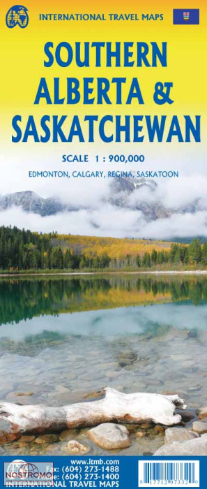
ITM Southern Alberta & Saskatchewan | landkaart, autokaart 1:900.000
Edmonton – Calgary – Regina – Saskatoon
€13,95
direct leverbaar!
- Zeer ruim assortiment
- Verzending 1-2 werkdagen
- Niet tevreden, geld terug
- Ruilen binnen 14 dagen
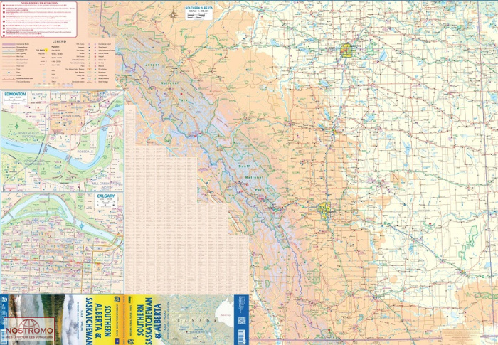
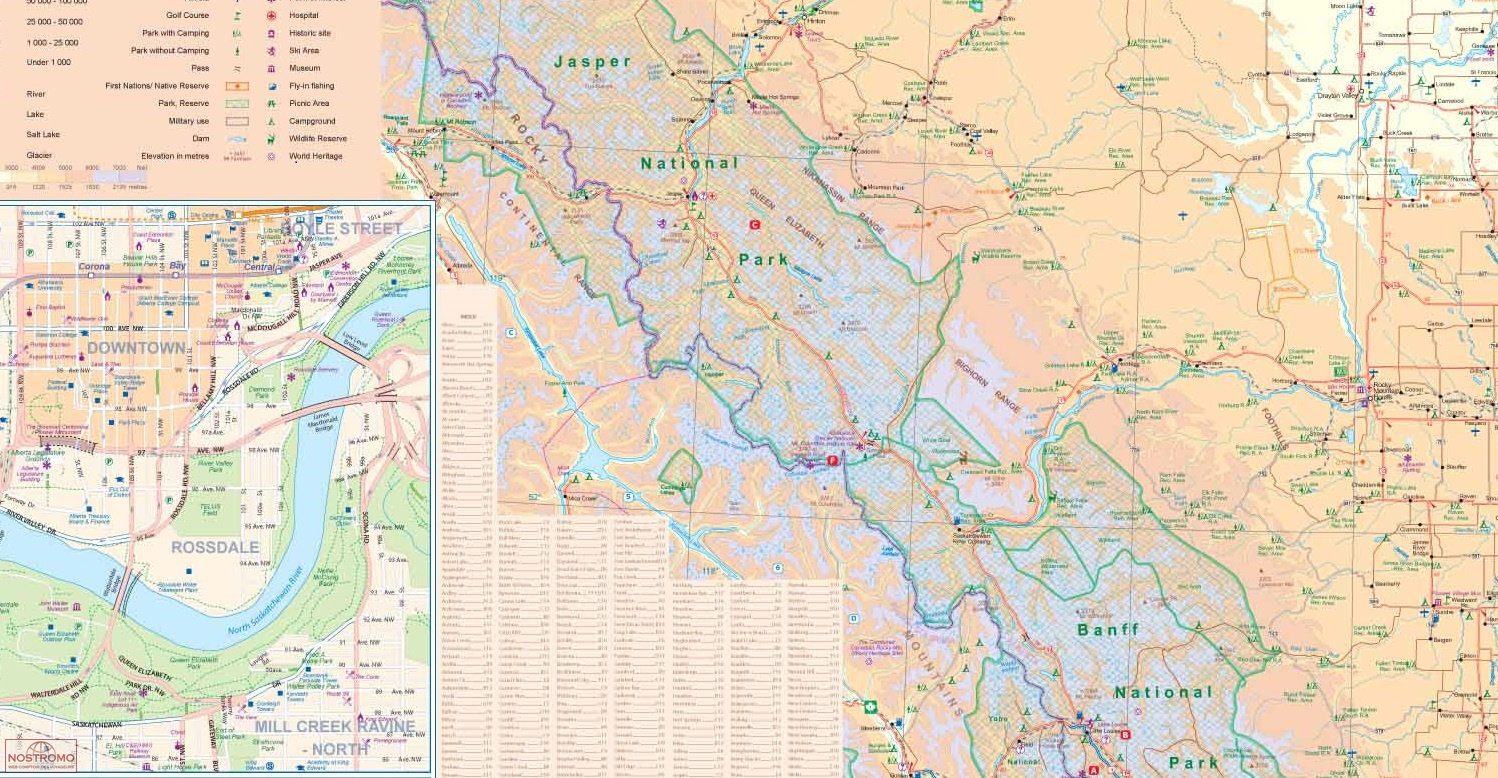
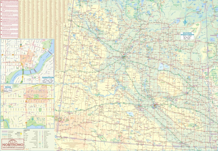
The Canadian prairies stretch from just east of Calgary to around Winnipeg. This map covers from the British Columbia border to just east of the Saskatchewan/Manitoba border and from the American border to north of Edmonton and Saskatoon. This is a vast region of fairly flat grassland, where farms are huge, and towns are hours of driving apart from each other. The Rocky Mountains are shown on side 1, but not in as much detail as our Banff/Jasper map, then the rest of Alberta, with large inset maps of Calgary and Edmonton. Side 2 covers southern Saskatchewan, with decent-sized inset maps of Regina and Saskatoon. This map would appeal to anyone driving across Canada or concentrating on this part of Canada, which includes the famous Drumheller Tyrrell Museum of Dinosaurs, Head-Smashed-In Buffalo Jump, Frenchman Butte battlefield, the RCMP headquarters and museum, and Al Capone's underground distillery. Who wouldn't want to see that?!
Legend Includes:
Roads by classification, Rivers and Lakes, National Park, Airports, Points of Interests, Highways, Main Roads, Zoos, Fishing, and much more...

