Kangchenjunga Region 1:100,000 GHT trekking map
umbha Sambha – Milke Danda – Yalung B.B. (weather-proof)

€29,50
direct leverbaar!
- Zeer ruim assortiment
- Verzending 1-2 werkdagen
- Niet tevreden, geld terug
- Ruilen binnen 14 dagen
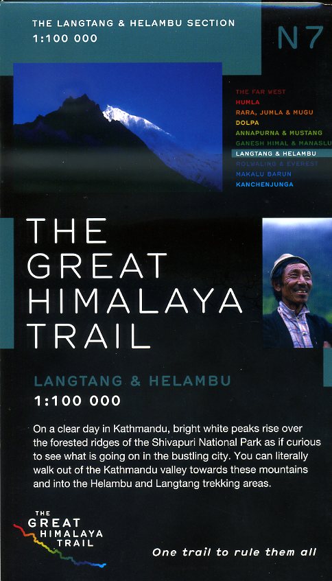
The Great Himalaya Trail in Nepal has been split into 10 sections to reflect the diversity of landscapes and cultures as you move from East to West through Nepal. It also offers a manageable way to approach walking the Great Himalaya Trail as individual treks.
Nepa Maps have produced a series of 10 corresponding, weatherproof maps.
The Far West is one of the least explored areas of Nepal. Its area is bounded to the east by mighty, turquoise Karnali river which flows from Tibet's sacred Mount Kailash. Myth and superstition remain part of the fabric of life here. One Nepali visitor described his visit as fascinating, like travelling back to the 18th century.
Humla, the Hidden Himalaya, is also known as the Gateway to Mt. Kailash and many pilgrims make their way along the turquoise Karnali river, 'the pulse of the earth', to the border with Tibet. A detour north into Limi Valley makes for a special experience.


