Kaarten en gidsen > Kaarten & plattegronden > Landkaarten en wegenkaarten > Afrika > Zuidelijk-Afrika > Zuid-Afrika > Kwazulu-Natal 1:250.000
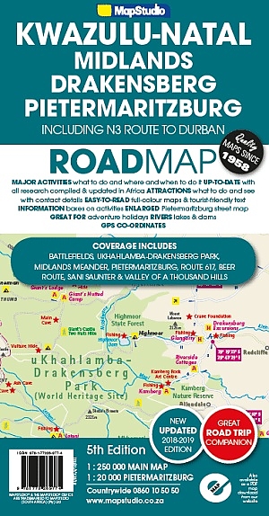
Kwazulu-Natal 1:250.000
€17,50
niet direct leverbaar
mail ons voor de levertermijn
- Zeer ruim assortiment
- Verzending 1-2 werkdagen
- Niet tevreden, geld terug
- Ruilen binnen 14 dagen
Titelinformatie
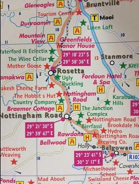
KwaZulu-Natal, Pietermaritzburg, Drakensberg, Midlands, Battlefields, Route 617 & Bushmans River Region. Indexed road map of the central KZN with an extensive map of Pietremaritzburg on the reverse. The road map at 1:250,000 includes the Drakensberg range and extends from Harrismith and the Sterkfontein Dam in the north west to uLundi in the east and Durban in the south. Road detail distinguishes tarred and un-tarred roads, indicates mountain passes and shows intermediate driving distances. Railways, airports and airfields are also included. There is no indication of the relief of the area, apart from some peak heights in highland areas. Provincial boundaries are included and reserves and conservation areas are highlighted, Symbols indicate places of interest, historical sites, battle sites, tourism offices, shopping/ eating opportunities etc. The map is annotated with brief notes on places of interest and there is a list of contact details for accommodation and tourism offices.
Titelspecificaties
| Regio | Zuid-Afrika |
|---|---|
| Uitgavedatum | Maart 2018 |
| Uitgever | |
| Serie | |
| ISBN | 9781770269774 |
| Categorie | Landkaarten en wegenkaarten |

