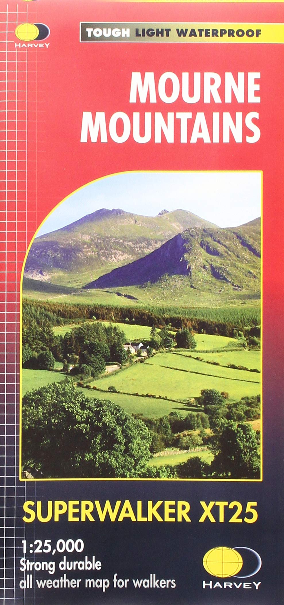
Kaarten en gidsen > Wandelen > Wandelkaarten > Europa > Britse Eilanden > Ierland > Belfast, Ulster > Mourne Mountains waterproof map | wandelkaart 1:40.000
Mourne Mountains waterproof map | wandelkaart 1:40.000
also includes the Mourne Way
€21,00
direct leverbaar!
- Zeer ruim assortiment
- Verzending 1-2 werkdagen
- Niet tevreden, geld terug
- Ruilen binnen 14 dagen
Titelinformatie
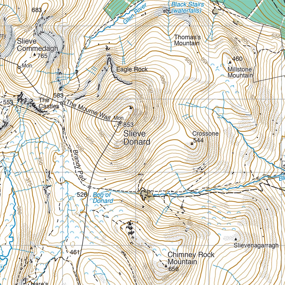
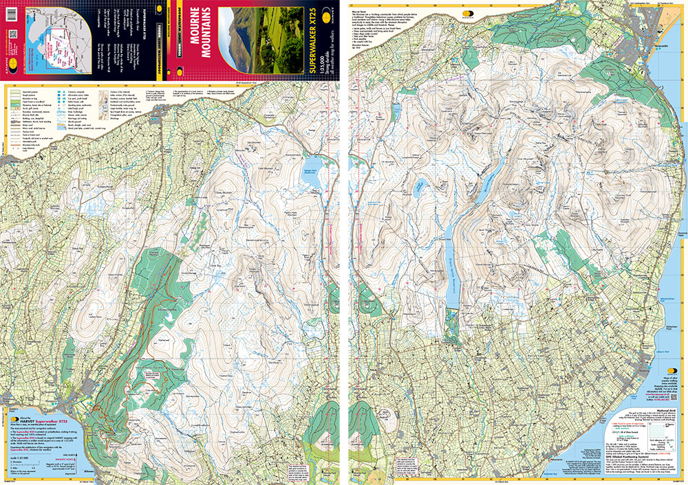
Mourne Mountains: The Mourne Mountains, also called the Mournes or Mountains of Mourne are a granite mountain range in County Down in the south east of Northern Ireland. They include the highest mountains in Northern Ireland and the province of Ulster. The highest of these is Slieve Donard at 850 metres (2790ft). The Mournes is an Area of Outstanding Natural Beauty and has been proposed as the first national park in Northern Ireland. The area is partly owned by the National Trust and sees a large number of visitors every year. The Mourne Wall is among the more famous features in the Mournes. It is a 35km (22mls) drystone wall that crosses fifteen summits, constructed to define the boundaries of land purchased by the Belfast Water Commissioners in the late 1800s. Also included in this map is The Mourne Way Long Distance Footpath.
Titelspecificaties
| Regio | Belfast, Ulster |
|---|---|
| Uitgavedatum | 2018 |
| Uitgever | |
| ISBN | 9781851376124 |
| Gebied | Noord-Ierland |
| Categorie | Wandelkaarten |

