Kaarten en gidsen > Fietsen > Fietskaarten > Europa > Britse Eilanden > Groot-Brittannië > Wales > NN04 The Celtic Trail
NN04 The Celtic Trail
€13,50
direct leverbaar!
- Zeer ruim assortiment
- Verzending 1-2 werkdagen
- Niet tevreden, geld terug
- Ruilen binnen 14 dagen
Titelinformatie
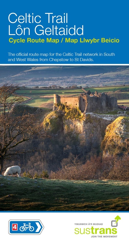
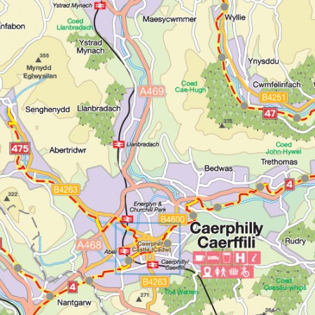
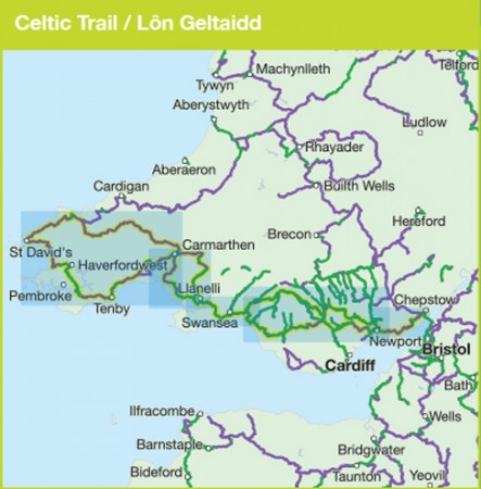
The official route map for the Celtic Trail network on National Route 4 in South and West Wales from Chepstow to St Davids.Follow traffic-free greenways, coastal paths, riverside trails and quiet country lanes as the Celtic Trail takes you through wonderfully scenic West Wales. Whether you are an experienced cyclist, a family with children or looking for great historic attractions, coastal gems, and fantastic places to eat and drink, the Celtic Trail offers all this and more.The western section of the trail takes you to some of Pembrokeshire and Carmarthenshire's finest coastlines. Visit fantastic seaside resorts like Tenby and Saundersfoot, stunning beaches like Newgale and Whitesands, picturesque harbours like Solva and Little Haven and historic centres like St Davids, and explore some great traffic-free routes including the Millennium Coastal Park and the Brunel Trail. These coastal routes are threaded together by quiet and often hilly lanes through beautiful countryside. And if it's a remote rural ride you are after, follow NCN47 of the Trail as it travels over the Preseli Hills between Fishguard and Carmarthen, then along the Tywi Valley and on to the scenic Swiss Valley Route, a lovely 11-mile greenway.If you are looking to tackle the trail over several days it can be easily broken down into shorter sections with plenty of places to stay along the way, not to mention countless pubs, cafes restaurants and tea-rooms where hungry cyclists are always guaranteed a warm welcome.
Titelspecificaties
| Regio | Wales |
|---|---|
| Uitgavedatum | 2017 |
| Uitgever | |
| Serie | |
| ISBN | 9781910845370 |
| Gebied | door het zuiden van Wales, van oost naar west |
| Categorie | Fietskaarten |

