The Mountains of Nerja | wandelgids
24 dagwandelingen: Sierras Tejeda, Almijara Y Alhama, Cómpeta
€23,50
direct leverbaar!
- Zeer ruim assortiment
- Verzending 1-2 werkdagen
- Niet tevreden, geld terug
- Ruilen binnen 14 dagen
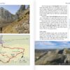
Engelstalige gids in handig vestzakformaat. Bevat gedetailleerde routebeschrijvingen, veel praktische (verblijfs-)informatie voor onderweg en leuke tips en wetenswaardigheden.
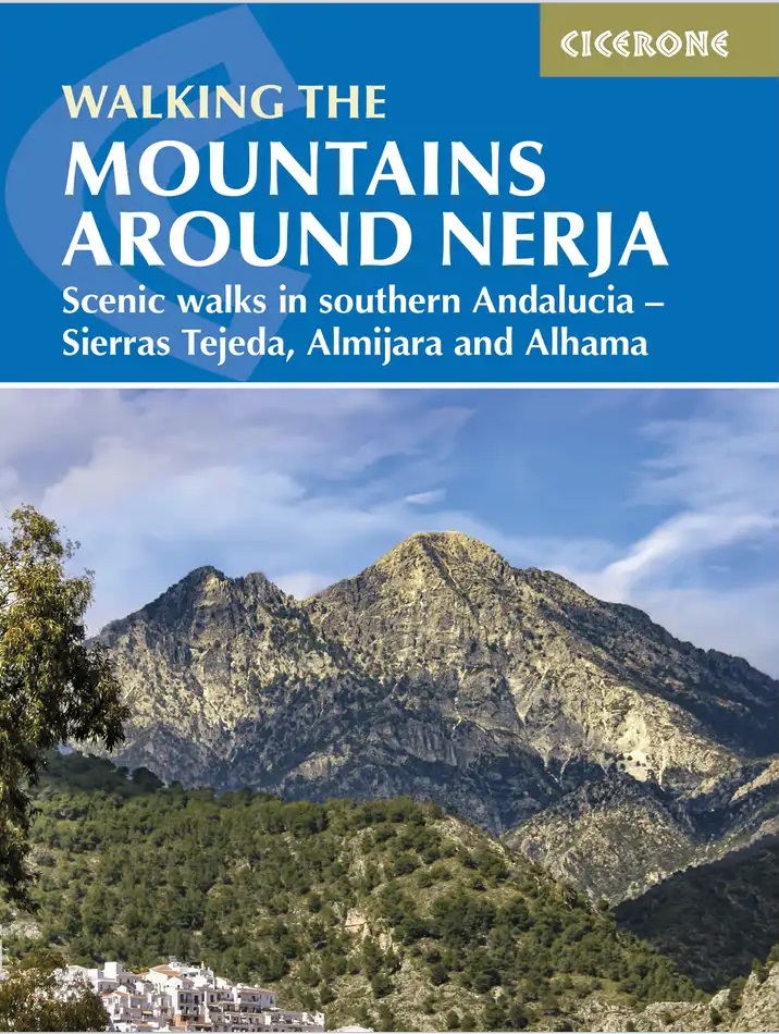
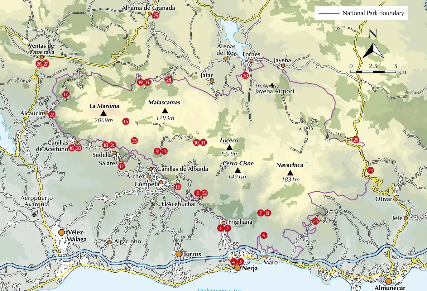
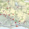
A guidebook to 32 day walks in and around the coastal town of Nerja, Spain. Exploring the mountains, gorges and white mountain villages of the Sierras Tejeda and Almijara and Alhama Natural Park in southern Andalucia, there are routes for walkers of all levels of fitness and experience.
Seasons
The best months are March to May and September to November. Conditions are also suitable for walking between December and February, although rain - and snow on La Maroma and Navachica - is more likely.
Centres
Nerja, Vélez-Málaga, Frigiliana, Cómpeta, Canillas de Albaida, Canillas de Aceituno, Ventas de Zafarraya, Alhama de Granada
Difficulty
Walks are graded from 1 to 10, with the low grade suitable for all and the high grade for the experienced and fit. The majority of the routes are in the middle range.
Must See
Outstanding natural beauty; more than 50 mountains over 915m (3000ft) in a relatively small area; stark geological features; peaceful and remote valleys where the wilderness is but a few minutes away
The walks are graded by difficulty and range from 3-22km (2-14 miles) in length, covering 110-1420m of ascent and taking between 1hr 30min and 7hr 30min to complete.
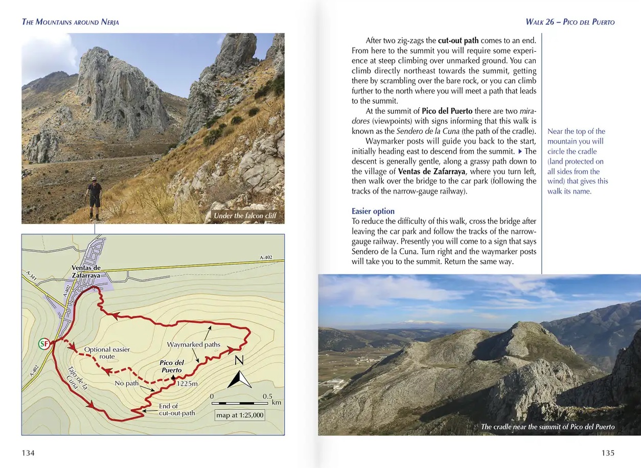
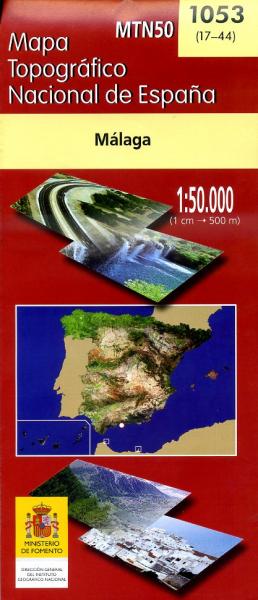
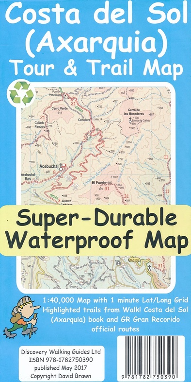
- Clear description of the route alongside 1:50,000 or 1:25,000 maps
- Highlights include ascents of La Maroma, Cisne and Navachica
- Packed with information on local history, geology and wildlife
- Each walk features detailed instructions on getting to the start, plus where to find refreshments and water sources
- Some routes visit sections of the 700km (430 mile) Gran Senda de Malaga (Great Path of Malaga)
- Easy access from Nerja, Velez-Malaga and Cómpeta
- GPX files available to download

