Kaarten en gidsen > Wandelen > Wandelgidsen > Europa > Britse Eilanden > Groot-Brittannië > Schotland > de Schotse Hooglanden (ten noorden van Glasgow / Edinburgh) > The Tay | wandelgids
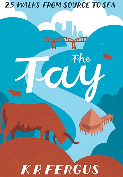
The Tay | wandelgids
25 Walks from source to sea
€9,95
direct leverbaar!
- Zeer ruim assortiment
- Verzending 1-2 werkdagen
- Niet tevreden, geld terug
- Ruilen binnen 14 dagen
Titelinformatie
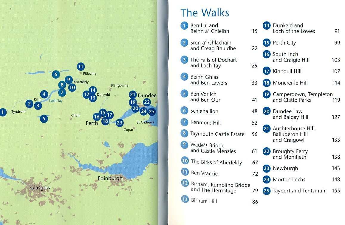
Deel uit een serie kleine pocket wandelgidsjes, die opvallen door de aardige lay-out. Korte routebeschrijvingen, eenvoudige kaartjes en compacte praktische info, leuk geïllustreerd. | As well as being Scotland's longest river, the Tay also carries the largest volume of water of any river in the UK more than the Thames and Severn combined when it reaches the Firth of Tay. From its source high up the slopes of Ben Lui near Tyndrum, the Tay makes its way through Stirlingshire and Perthshire to meet the North Sea near Dundee. As one of the best salmon rivers in Europe, every year it lures anglers from around the world and countless more come to explore the glorious hills and glens it passes.There is no better way to discover the wildlife, architecture and history of this area of Scotland than to walk. Whatever your ability walking at high or low level, following tough terrain or level paths the 25 routes in this guide offer something for everyone.In Stock
Titelspecificaties
| Regio | de Schotse Hooglanden (ten noorden van Glasgow / Edinburgh) |
|---|---|
| Uitgavedatum | 2015 |
| Uitgever | |
| ISBN | 9781907025433 |
| Categorie | Wandelgidsen |

