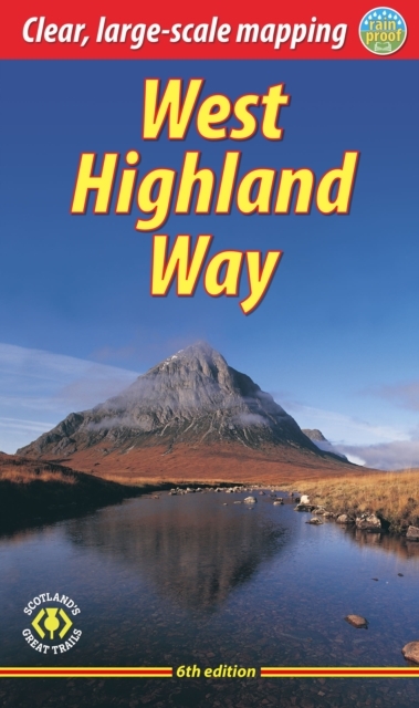
West Highland Way, the | wandelgids
Glasgow — Fort William
€23,95
direct leverbaar!
- Zeer ruim assortiment
- Verzending 1-2 werkdagen
- Niet tevreden, geld terug
- Ruilen binnen 14 dagen
Boekje met wandelinfo en uitklapbare kaarten. Niet bijzonder gedetailleerd, maar de route is ook goed gemarkeerd.
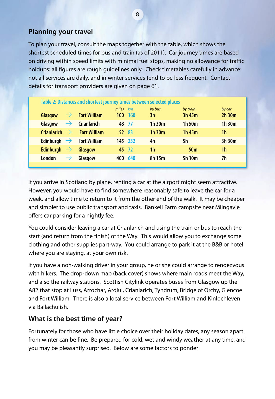
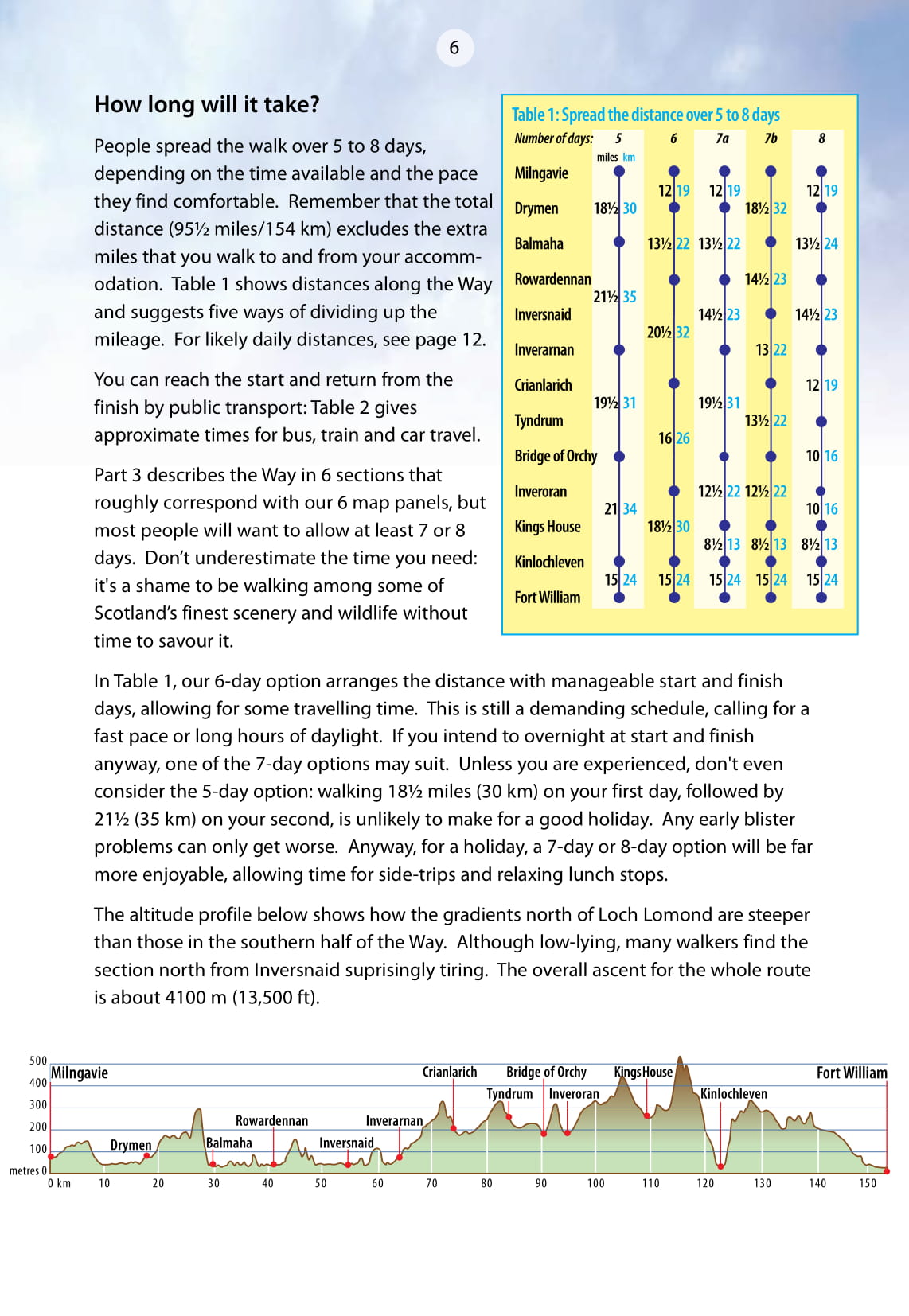
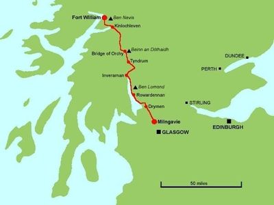
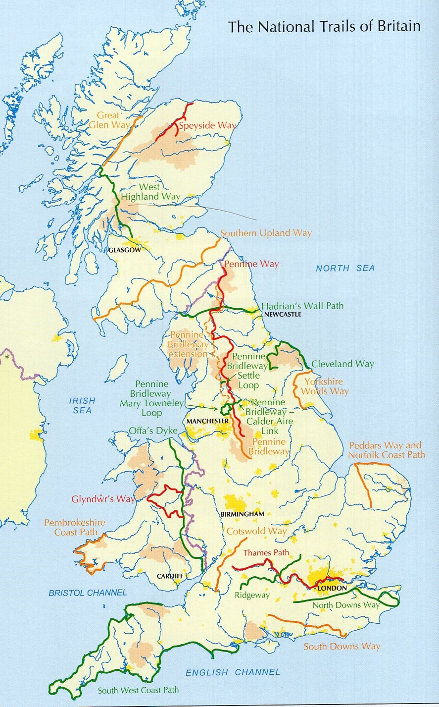
The West Highland Way is the first and most famous of Scotland's long-distance walks. It stretches for 95 miles (152 km) of superb scenery, from the outskirts of Glasgow, Scotland's largest city, through its first National Park, along the shores of its largest loch, ending in Fort William, at the foot of Ben Nevis, Britain's highest mountain. The second edition of this popular guidebook was fully revised in 2003, with updated content, more photographs and a Fort William town plan. It contains all you need to plan and enjoy your holiday:drop-down route map in six panels (1:100,000) waterproof paper throughout the Way in sections, with summaries of distance, terrain and where to find food and drink; concise background on the history and wildlife information about side-trips, e.g. Ben Lomond and Ben Nevis; planning information for travel by car, train, bus or plane in full colour, with 60 photographs.

